Severe Thunderstorms Slam Mecklenburg County: Flood Risks and Safety Tips
Mecklenburg County faces heavy thunderstorms and flash flooding risks until 1:15 a.m. Tuesday—know how to stay safe on roads and outdoors.
Owen.outdoors/Pexels
Mecklenburg County residents are under a severe weather alert as a cluster of thunderstorms with torrential rain continues to impact the area through early Tuesday morning, July 7, 2026. The National Weather Service (NWS) Greenville-Spartanburg office issued an updated warning shortly after midnight, highlighting significant flood risks and hazardous driving conditions. The storm system is moving east at 20 mph, prompting officials to urge caution and preparedness for rapidly rising water levels and dangerous lightning.
Current Storm Conditions and Flood Risk
At 12:11 a.m. Tuesday, Doppler radar detected a line of intense thunderstorms stretching from 10 miles east of Uptown Charlotte to just north of Indian Land and York. This system is expected to remain active over Mecklenburg County until approximately 1:15 a.m., bringing heavy rain that may cause flash flooding, especially in low-lying areas.
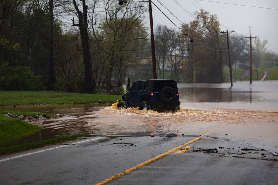
The NWS warns that poor drainage zones such as ditches, underpasses, and small streams could quickly fill with water, creating hazardous conditions. Residents are advised to avoid these flood-prone locations and never attempt to drive through flooded roads, as fast-moving water can sweep vehicles off roadways and pose a life-threatening danger.
Lightning Safety: What You Need to Know
Lightning strikes are a frequent hazard during summer thunderstorms, with the U.S. experiencing about 25 million strikes annually and an average of 20 fatalities each year. The risk peaks when the storm is directly overhead and remains significant as it approaches.
To protect yourself from lightning:
- Have a clear plan to reach a safe indoor location if you’re outside.
- If you hear thunder or see lightning, seek shelter immediately.
- Once inside, avoid contact with corded phones, electrical appliances, plumbing, and windows.
- Wait at least 30 minutes after the last thunder or lightning before going back outdoors.
If indoor shelter is unavailable, avoid open fields, hilltops, tall isolated trees, and metal objects. Stay near low trees if in a forest and space out if in a group to prevent electrical current transfer.
Driving Safely in Heavy Rain and Flooding
Rainy roads significantly increase the risk of accidents, especially due to hydroplaning, where tires lose traction and slide uncontrollably on wet surfaces. Hydroplaning often results from excessive speed, water depth, and worn tire treads.
Drivers in Mecklenburg County should follow these precautions during the storm:
- Turn on headlights to improve visibility for yourself and others.
- Drive in middle lanes and stay on higher ground, avoiding road edges where water accumulates.
- Avoid puddles and flooded areas—do not attempt to drive through standing or flowing water.
- Keep a safe distance from large vehicles, which can spray water and reduce visibility.
- If hydroplaning occurs, ease off the accelerator, steer gently into the skid, and avoid sudden braking.
Remember, flash floods can develop quickly during torrential downpours, so turning around and finding alternate routes is always safer than risking flooded roadways.
Community Preparedness and Resources
Local authorities continue to monitor the storm’s progress and are prepared to respond to flooding emergencies. Residents should stay tuned to official updates via local news outlets, weather apps, and emergency alert systems.
Those in flood-prone areas should have an evacuation plan ready and seek higher ground if floodwaters threaten their homes. Emergency responders recommend keeping emergency supplies, including flashlights, batteries, and first aid kits, accessible in case of power outages or other storm-related disruptions.
Mecklenburg County is expected to see improving conditions after 1:15 a.m., but lingering wet roads and potential flooding may persist into the morning. Residents and travelers alike should exercise caution and prioritize safety until the storm passes fully.