Pea-Sized Hail, Strong Winds Possible in Eastern NC Storms
The National Weather Service issued alerts for strong thunderstorms bringing potential pea-sized hail and wind gusts up to 40 mph to parts of Eastern North Carolina.
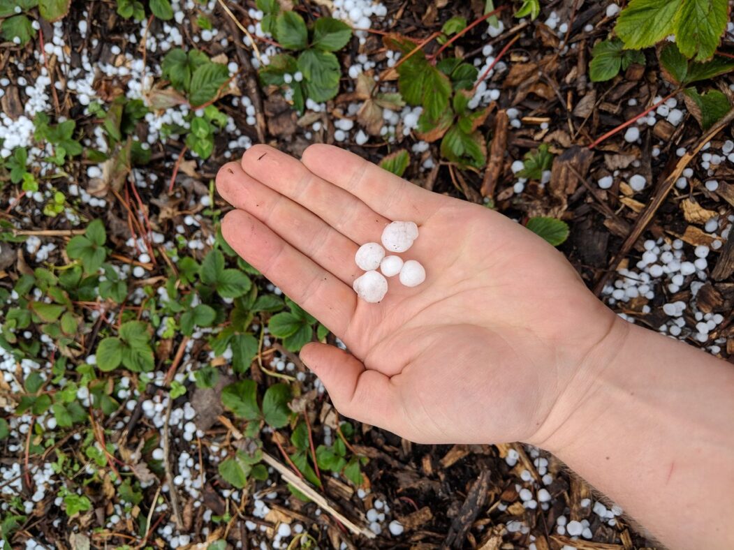
Rbreidbrown/Wikimedia Commons
Eastern North Carolina faced the threat of strong thunderstorms on Saturday, June 13, 2026, according to reports from the National Weather Service (NWS).
The NWS Newport/Morehead City NC issued alerts for strong thunderstorms expected to last until 3:30 a.m. Saturday. The affected areas included Southern Craven, West Carteret, East Carteret, and Pamlico County. Residents were warned of the possibility of pea-sized hail, measuring 0.25 inches, and wind gusts reaching up to 40 mph.
At approximately 2:27 a.m., Doppler radar detected a strong thunderstorm located 7 miles west of Cedar Island, moving eastward at 15 mph. The NWS indicated that additional strong thunderstorms were developing in the impacted regions. The agency advised that gusty winds could potentially cause tree limbs to fall and unsecured objects to be blown around, with minor hail damage to vegetation also being a possibility.
Locations within the alert’s scope included New Bern, Havelock, Morehead City, Newport, Cedar Island, South River, North River, Sealevel, Marshallberg, Davis, Smyrna, Merrimon, Atlantic, Harlowe, Otway, Janeiro, Great Neck, Williston, Whortonsville, and Open Grounds Farm.
In a separate but related advisory, the NWS Newport/Morehead City NC also issued an updated report for Hatteras Island, effective until 2:30 a.m. Saturday. This alert also predicted wind gusts up to 40 mph and pea-sized hail. At 1:47 a.m., Doppler radar tracked a strong thunderstorm over Rodanthe, moving east at 5 mph. The affected areas on Hatteras Island included Salvo, Waves, Rodanthe, and the Hatteras Island Fishing Pier.
The NWS advised individuals to seek shelter inside a building if outdoors. Torrential rainfall was also noted as a potential hazard, possibly leading to localized flooding, and drivers were cautioned against driving through flooded roadways.
The NWS also provided safety recommendations during thunderstorms, urging people to have a plan to reach a safer place if outdoors and to seek shelter upon hearing thunder. Once inside, it is advised to avoid contact with corded phones, electrical devices, plumbing, and windows and doors. For Hatteras Island, the alert was in effect until 2:30 a.m. Saturday.